Need Data for Your Business? We Can Help.

Whether you’re expanding into new markets, optimising a fleet, planning your next retail location, refining a risk model or training a new AI model —one thing is certain: you need data. But not just any data. You need data you can trust—accurate, relevant, and actionable. That’s where we come in. At GeoInt, we help decision-makers […]
Visualise – Strategise – Optimise: Turning Insight Into Action

Organisations invest heavily in data collection. However, the value of data is only realised when it’s clearly understood and applied. Visualisation plays a key role in this process. It helps teams see patterns, understand relationships, and make more informed decisions—especially when working with complex or location-based data. Whether it’s a map showing customer movement trends […]
GeoInt and AfricaWeather Announce Strategic Data Partnership to Power Smarter Decisions Across Sectors
Johannesburg, South Africa – Geo Intelligence Corp (GeoInt), a leader in geospatial intelligence and data, today announced a new strategic partnership with AfricaWeather, the continent’s leading private weather data provider. This collaboration brings highly accurate, hyperlocal, and real-time weather intelligence into GeoInt’s data ecosystem — enabling smarter decisions across multiple industries facing increasing climate volatility. From fleet and logistics to agriculture, insurance, energy, public […]
Illuminating the unknown: Unlocking the Value of Dark Data with Geospatial Intelligence and AI

“The real voyage of discovery consists not in seeking new landscapes, but in having new eyes.” – Marcel Proust. In today’s data-driven world, businesses are generating vast amounts of information every second. Yet, much of this data remains unused, locked away in silos, or stored without any clear strategy. This “dark data” represents a huge, […]
Expanding Your Data Horizons: Unlocking Value Through Integration

In today’s data-driven world, organisations that rely solely on their internal datasets risk missing out on valuable insights that can drive better decision-making. While many enterprises conduct external research to inform annual strategy updates, ongoing reporting often depends exclusively on internal data sources. However, the real power of data emerges when it is enriched with […]
Investing in the Right Resources for Geospatial Intelligence Success

In today’s data-driven world, geospatial intelligence has emerged as a powerful tool for businesses seeking to gain a competitive edge. By integrating location-based insights into their decision-making processes, companies can unlock new opportunities for growth, improve operational efficiency, and enhance customer engagement. We’ve seen major, disruptive developments in AI of late – all of which […]
Why the Basics of Data Management Still Matter in a GeoAI-Driven World

In an era where data is both abundant and difficult to harness, organisations are under increasing pressure to innovate, adapt, and thrive. GeoAI, or Geospatial Artificial Intelligence, applies various AI techniques, combined with spatial analysis methods, to make sense of vast amounts of geospatial data from multiple sources. GeoAI offers new possibilities for insights and […]
TomTom Orbis Maps Webinar Highlights
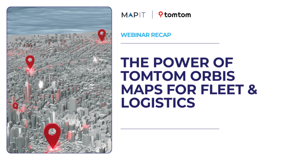
The future of fleet and logistics mapping technology On the 24th October, GeoInt’s CEO, Kamal Ramsingh, hosted a webinar dedicated to TomTom’s newly launched Orbis Maps platform and why it is poised to revolutionise the fleet and logistics industries. Panelists included Ramachandra Kalaga (RC) and Scott Brighty from TomTom, and Jonathan Houston from MapIT,GeoInt Group’s […]
TomTom Orbis Maps Launches in Africa

In partnership with MapIT TomTom Orbis MapsTraditionally, maps have lacked an open standard. Despite the many high-quality maps available, their proprietary structures make them challenging to work with and hamper innovation and integration. It’s difficult as a map customer to adopt these technologies without significant downsides. TomTom Orbis Maps is changing this with its […]
MapStack Webinar Highlights

Lighting up dark data with MapStack’s visualisation and analytics platform Research has shown that between 40% and 90% of data created is ‘dark’ meaning it is collected but organisations fail to analyse and use it in strategic decision making. On the 3rd of October GeoInt’s CEO, Kamal Ramsingh, hosted a webinar dedicated to the importance […]